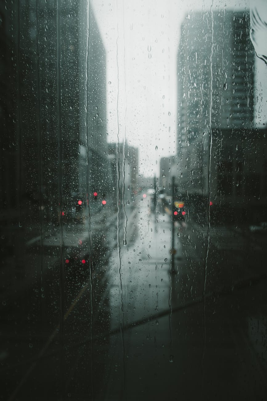
The image of a powerful tropical cyclone barreling towards a major metropolis like Sydney can be unsettling, especially with increasing global awareness of climate change and extreme weather events. Australians are well-acquainted with the devastating force of cyclones, particularly those in the northern and western parts of the country. However, the unique geographical and meteorological conditions affecting New South Wales (NSW) and its capital, Sydney, raise a critical question: how real is the threat of a direct cyclone impact on this bustling East Coast city? This article aims to decode the complexities of cyclone threats in NSW, distinguishing between tropical cyclones and other severe weather phenomena, and assessing Sydney’s actual vulnerability.
Understanding the beast: tropical cyclones vs. east coast lows
To assess Sydney’s risk, it’s crucial to understand the fundamental differences between a true tropical cyclone and other powerful weather systems. A tropical cyclone is a low-pressure system that forms over warm tropical waters (typically above 26.5°C) and is characterized by a core of warm air, organized convection (thunderstorms), and distinct spiraling winds. They draw their immense energy from the latent heat released when moist air condenses, making them powerful engines of destruction.
Sydney, situated on the temperate NSW coast, is far from these tropical breeding grounds. The waters off Sydney are generally too cool to sustain a tropical cyclone’s structure or allow for its formation. However, NSW is highly susceptible to east coast lows (ECLs). These are intense low-pressure systems that form just off the NSW coast, often during autumn and winter, and are driven by contrasting air masses rather than warm ocean temperatures. While not tropical cyclones, ECLs can produce similar or even greater impacts on coastal areas, including:
- Torrential rainfall leading to flash flooding and riverine flooding.
- Destructive winds capable of felling trees and damaging property.
- Abnormally high seas, powerful swells, and significant coastal erosion.
The distinction is vital: while Sydney is largely immune to direct tropical cyclone hits, it frequently faces severe weather from ECLs, which can be just as dangerous.
Sydney’s historical resilience: a low probability target
Historically, Sydney has experienced very few, if any, direct hits from tropical cyclones. The last widely cited, though debated, instance of a system with tropical characteristics directly impacting Sydney was in 1841. Since then, no tropical cyclone has made landfall directly on the Sydney metropolitan area while maintaining its tropical intensity. This low probability is primarily due to several meteorological and geographical factors:
- Cooler waters: As tropical cyclones move south from their genesis regions in the Coral Sea or Pacific, they encounter progressively cooler ocean temperatures. This deprives them of the warm, moist air needed to sustain their tropical structure and energy.
- Land interaction: Tropical cyclones that track south towards NSW often cross landmasses like Queensland, which rapidly weakens them.
- Atmospheric shear: As tropical systems move into mid-latitudes, they often encounter stronger wind shear (changes in wind speed and direction with height). This tears apart their organized structure, causing them to dissipate or transition.
While the direct hit of a tropical cyclone on Sydney is an extremely rare event, it doesn’t mean the city is entirely safe from their influence. The real threat often comes in a different, more insidious form.
The real aquatic punch: ex-tropical cyclones and east coast lows
The primary severe weather threats to Sydney stemming from tropical origins are not direct cyclone landfalls, but rather the remnants of these systems, known as ex-tropical cyclones (ETCs), or the highly impactful east coast lows. An ex-tropical cyclone is a system that has lost its tropical characteristics (e.g., its warm core, symmetrical wind field) but can still carry immense amounts of moisture and energy. As these systems move south and interact with mid-latitude weather patterns, they can re-intensify as powerful extra-tropical lows, bringing the following dangers:
- Extreme rainfall: ETCs can unleash torrential, widespread rainfall, leading to severe flooding in river systems and urban areas, even days after the original cyclone has dissipated.
- Strong winds: While not the sustained hurricane-force winds of a tropical cyclone, ETCs can still generate very strong, damaging winds, particularly along the coast.
- Coastal impacts: Combined with high tides and large swells, ETCs can cause significant coastal erosion and dangerous surf conditions.
Similarly, East Coast Lows, while not originating tropically, pose an equally, if not greater, threat to Sydney due to their propensity for rapid development close to the coast and their ability to generate extreme localized rainfall and fierce winds. The table below illustrates the key differences in how these systems impact NSW.
| Feature | Tropical Cyclone (in tropics) | Ex-Tropical Cyclone (affecting NSW) | East Coast Low (NSW) |
|---|---|---|---|
| Formation Environment | Warm ocean (>26.5°C), low shear | Weakened tropical system transitions to mid-latitude | Cold fronts, upper atmosphere interactions, sea surface temperature gradients |
| Primary Energy Source | Latent heat from condensation | Residual tropical moisture, baroclinic processes | Temperature contrasts, baroclinic instability |
| Typical Wind Structure | Symmetrical, intense eye, strongest near core | Asymmetrical, strong gusts, but generally weaker than original TC | Can be highly localized and intense, strong gusts |
| Primary Threat to Sydney | Extremely low probability (direct hit) | High (indirect: heavy rainfall, strong winds) | High (direct: heavy rainfall, strong winds, coastal erosion) |
Protecting yourself: preparedness for severe weather
Given that Sydney is more prone to the impacts of ex-tropical cyclones and particularly East Coast Lows than direct tropical cyclone strikes, preparedness strategies should focus on general severe weather readiness. While the name “cyclone” might evoke images of northern Australia’s devastation, the practical steps for Sydney residents are largely the same for any major storm event:
- Stay informed: Monitor official warnings and forecasts from the Bureau of Meteorology (BOM) and NSW State Emergency Service (SES). Pay attention to local media and emergency alerts.
- Prepare your home: Clear gutters and downpipes, trim overhanging branches, secure loose outdoor items (furniture, trampolines), and ensure your roof is in good repair.
- Develop an emergency plan: Know what to do in case of power outages, flooding, or if you need to evacuate. Identify a safe place for your family and pets.
- Assemble an emergency kit: Include essential items like a battery-powered radio, flashlight, first-aid kit, non-perishable food, water, important documents, and medications.
- Never drive through floodwaters: “If it’s flooded, forget it” is a critical message. Most flood-related fatalities occur in vehicles.
By understanding the nuances of severe weather systems affecting Sydney and implementing comprehensive preparedness measures, residents can significantly mitigate risks and enhance their safety.
Final conclusions
While the sensational headline “Is Sydney at Risk of a Cyclone?” captures attention, the nuanced reality is that a direct tropical cyclone hit on Sydney is an extremely rare, historically almost non-existent event due to the city’s geographical and meteorological positioning. The cooler southern waters and atmospheric conditions typically cause tropical cyclones to weaken or transition long before reaching the NSW coast. However, this does not mean Sydney is immune to severe weather originating from these powerful systems. The true threat lies in the remnants of tropical cyclones—ex-tropical cyclones—which can transport immense rainfall and strong winds far south, and more commonly, in the devastating East Coast Lows.
These extra-tropical systems frequently bring torrential rain, flash flooding, and damaging winds, posing significant risks to infrastructure and public safety. Therefore, the focus for Sydney residents should be on comprehensive preparedness for general severe weather events, rather than solely fixating on the low probability of a direct tropical cyclone. Staying informed through official channels, securing properties, and having an emergency plan in place are the most effective strategies to protect lives and property when powerful storms inevitably impact the beautiful but dynamic NSW coast.
Image by: Josh Hild
https://www.pexels.com/@josh-hild-1270765